 HÖHENWERK
PERSPECTIVES
THAT SHOW
MORE.
Drone photography and FPV video for businesses, property and construction projects in Aachen, Vaals and the Euregio.
3D RECORDS
FROM ABOVE.
VISUAL FIELD DOC.
One flight produces an orthophoto, elevation model and 3D field model — the base layer for marketing, condition records and progress comparison.
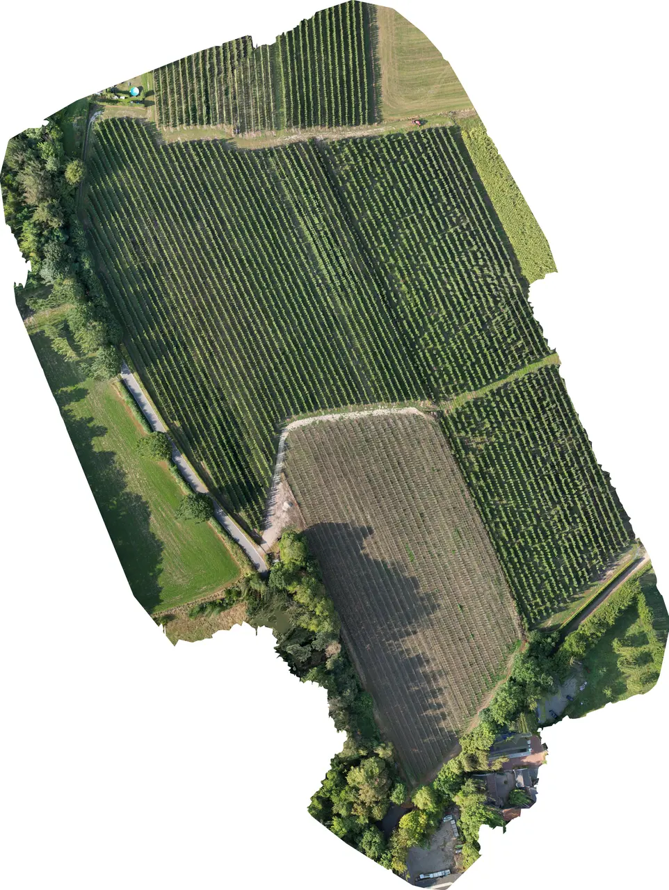
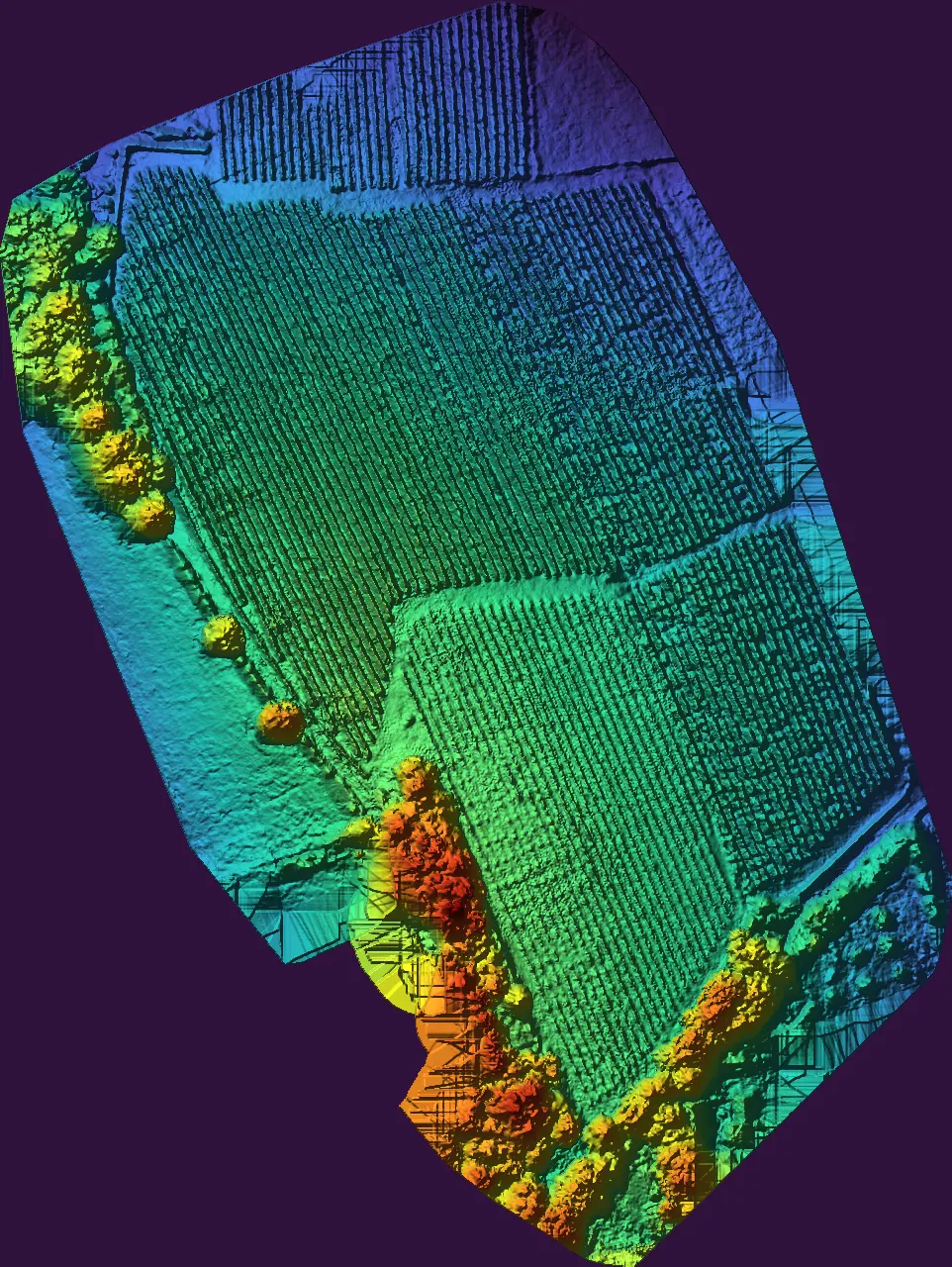
Move the slider to compare the layers
Drag to rotate · Scroll to zoom
3D view is loading
3D is not available in this browser. Overview and elevation model stay active.
- COVERED AREA
- 7 HA
- RECONSTRUCTED IMAGES
- 161
- DENSE POINTS
- 8.228.472
- AVG. GSD
- 2.03 CM
MAPPING AS A COMBINED SERVICE.
Orthophoto, elevation model and 3D view from one flight — combinable with photo/video, inspection, or recurring documentation for construction, agriculture and real estate.
Request 3D documentationWHAT WE DO
From vertical social clips to visual documentation — HÖHENWERK produces visuals that earn attention and stay useful.
PHOTO & VIDEO
High-resolution aerial photography, commercials, brand films and social content — calm and precise, or dynamic FPV.
↗VERTICAL / SOCIAL
Reels, TikTok and Shorts in 9:16 — with strong hooks, FPV movement and clips built to work in the feed.
↗INSPECTION
Photo documentation of roofs, facades and hard-to-reach areas — visible and sorted, without technical diagnosis.
↗VISUAL 2D/3D DOCUMENTATION
Overviews and 3D models via photogrammetry for records, progress and presentation.
↑CONTENT FOR
THE FEED.
Vertical video production for Reels, TikTok and Shorts — as a single shoot, content bundle or recurring monthly format.
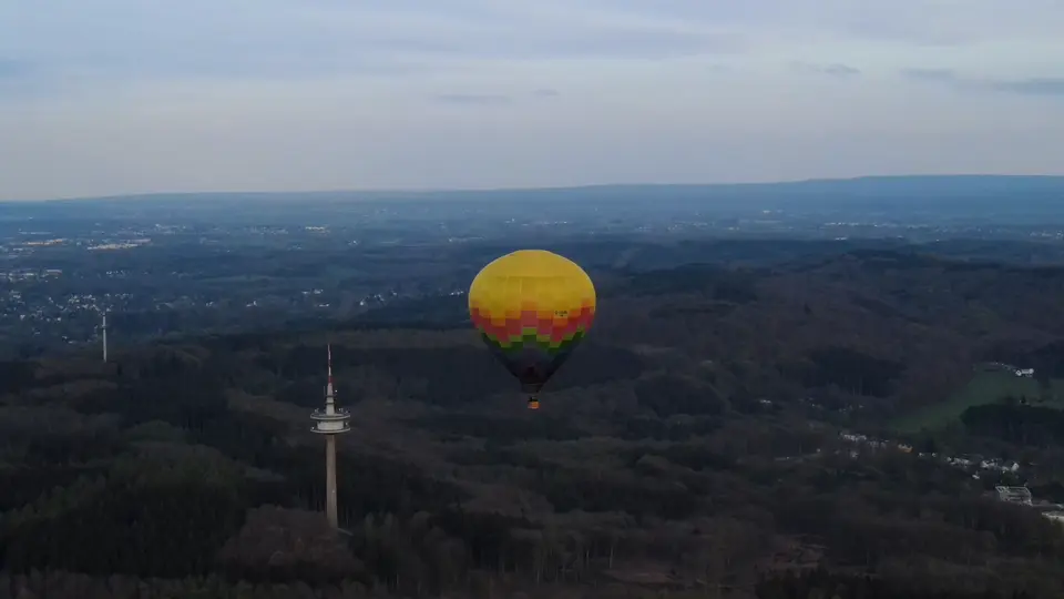 REC FLIGHT / 001
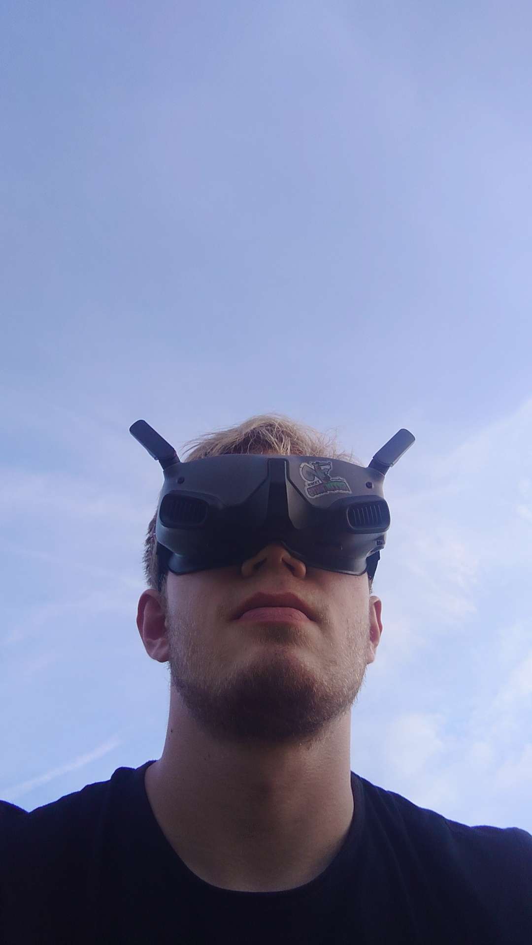
MARIN BENKE. YOUR PILOT.
I’m Marin, the pilot behind HÖHENWERK. Based in Aachen, I produce aerial photography, FPV video and visual documentation for projects in Vaals and the Euregio. Your enquiry comes directly to me.
More about meGOT A
PROJECT?
Send us a short note on what you have in mind. Platform, location and desired outcome are enough for the first contact.